
When NOAA’s Climate Prediction Center released its latest ENSO Diagnostic Discussion, the message was clear: brace yourself. The agency predicts an 82% chance that El Niño conditions will emerge between May and July 2026, with a staggering 96% probability they’ll stick around through the Northern Hemisphere winter of 2026–27. This isn’t just another seasonal blip. It’s a major shift in global weather patterns that could redefine everything from hurricane seasons to winter storm tracks.
Here’s the thing: we’re coming off a whirlwind ride. The 2023–24 El Niño event was one of the five strongest on record, according to the World Meteorological Organization (WMO). Even as it weakened, it left behind a trail of above-normal temperatures across almost all land areas from March to May. Now, after a brief dip into La Niña and a neutral phase, the pendulum is swinging back hard toward El Niño.
The Road to El Niño: From Neutral to Strong
It’s been a confusing few years for meteorologists. After the intense 2023–24 El Niño peaked, the tropical Pacific cooled slightly, triggering a short-lived La Niña. But that didn’t last long. NOAA’s Climate.gov portal issued a "Final La Niña Advisory," noting that the tropical Pacific returned to ENSO-neutral conditions—meaning neither El Niño nor La Niña dominated. These neutral phases are tricky. Without strong oceanic signals, it’s harder to predict seasonal shifts in rain, storms, or heat. Forecasters expected neutrality to hold through the summer and likely into fall, but now, the data points firmly to a return of El Niño.
The WMO’s recent updates add nuance. There’s about a 60% chance El Niño persists through March–May, followed by an 80% chance of neutral conditions in April–June. Then comes the big jump: the 82% likelihood of El Niño emerging by mid-2026. And if it does? It’s not going anywhere quickly. That 96% confidence level for December 2026–February 2027 suggests a powerful, sustained event. For context, the USGS notes that El Niño recurs irregularly every two to ten years, and no two events are exactly alike. This one looks set to be significant.
What This Means for U.S. Weather and Storms
If you live in the Southeast, particularly Florida, this forecast changes your risk profile dramatically. The National Weather Service office in Tallahassee highlights specific historical impacts. During El Niño winters, Florida typically sees above-average precipitation from fall through spring. Sounds bad? Well, it also means a reduced risk of wildfires—a silver lining, perhaps. But there’s a catch: higher flooding risks and increased severe weather threats due to greater storminess across the southern U.S.
Tornadoes are another concern. Data from NOAA’s Storm Data (1950–2009) shows that El Niño years average around 15 tornadoes per year in the region—nearly double the count during neutral or La Niña years. That’s a stark increase in danger for communities unaccustomed to such frequency. Meanwhile, for those watching the Atlantic hurricane season, El Niño is generally good news. Increased vertical wind shear—the change in wind speed or direction with height—tends to suppress hurricane formation and intensification. So, while inland storms may increase, the threat of major Atlantic hurricanes hitting the coast often diminishes.
Global Ripple Effects and Temperature Spikes
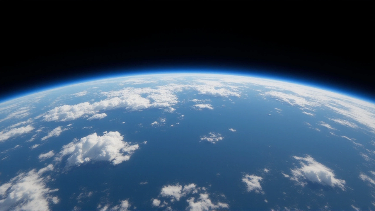
The impact doesn’t stop at U.S. borders. NASA describes El Niño as "the largest natural disruption to the Earth system," with direct effects across most of the Pacific Ocean and indirect reverberations worldwide. The WMO warns that even a weakening El Niño continues to fuel heat trapped by greenhouse gases. We’re already seeing above-normal sea-surface temperatures over much of the global oceans, which drives hotter land temperatures and alters rainfall patterns globally.
This interaction between natural climate cycles and human-induced warming is critical. As the WMO states, the lingering El Niño signal combines with predicted warm ocean surfaces to push global land temperatures higher than normal. For farmers, water managers, and emergency planners, this means preparing for more extreme heatwaves and erratic precipitation. The uncertainty remains high for later in the year, with a possible La Niña developing afterward, though odds are currently unclear.
Why This Matters Now
We’re not just talking about abstract climate models. These forecasts influence insurance rates, agricultural planning, and disaster preparedness budgets. An 82% chance of El Niño by mid-2026 gives governments and businesses a window to act. In Florida, that might mean reinforcing drainage systems before the wet season. In the Midwest, it could imply drier springs affecting crop yields. Globally, it underscores the need for resilient infrastructure capable of handling intensified weather extremes.
The details are still being refined as ocean temperatures evolve, but the trajectory is clear. We’re moving from a period of relative climatic calm into a phase of heightened volatility. Understanding these patterns helps us stay ahead of the curve, rather than just reacting to the aftermath.
Frequently Asked Questions
When is El Niño expected to arrive?
According to NOAA’s Climate Prediction Center, there is an 82% chance El Niño conditions will emerge between May and July 2026. If it develops then, there is a 96% probability it will persist through the Northern Hemisphere winter of 2026–27, specifically from December 2026 to February 2027.
How does El Niño affect Atlantic hurricanes?
El Niño typically reduces Atlantic hurricane activity. This happens because it increases vertical wind shear in the atmosphere, which tears apart developing storm systems. While this lowers the risk of major hurricanes hitting the U.S. East Coast, it can lead to increased storminess and severe weather inland, particularly in the southern United States.
What weather should Floridians expect during El Niño?
Florida residents should prepare for above-average precipitation from fall through spring. This leads to a higher risk of flooding and increased severe weather threats, including more frequent tornadoes—averaging around 15 per year historically, nearly double the rate in neutral years. However, the wetter conditions also reduce the risk of wildfires.
Is the current El Niño stronger than previous ones?
The 2023–24 El Niño event was ranked among the five strongest on record by the World Meteorological Organization. While the upcoming 2026–27 event is still being forecasted, its high probability of persistence suggests it will be a significant driver of global temperature anomalies and weather disruptions, interacting with existing greenhouse gas-driven warming.
What is ENSO-neutral and why does it matter?
ENSO-neutral means the tropical Pacific is experiencing neither El Niño nor La Niña conditions. It matters because without these strong oceanic patterns, seasonal weather forecasting becomes much less reliable. Predictions for rain, storms, and temperatures are harder to pin down, making it a period of greater uncertainty for climate planners.